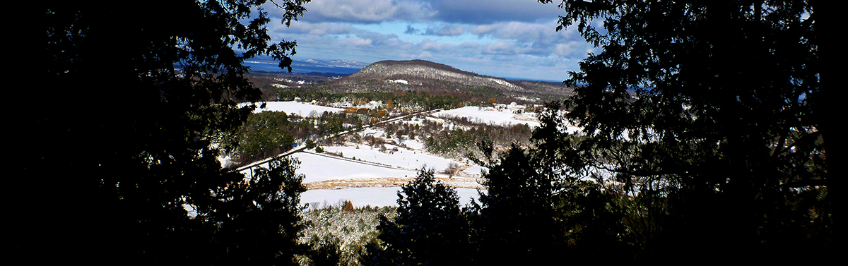
The Lake Champlain Byway is a Scenic Byway designated by the State of Vermont located in the northwest portion of the state. From north to south, the formal route is 134 miles (215 km) long and consists of U.S. Route 2 through the Champlain Islands, U.S. Route 7 through the city of Burlington and several surrounding towns, and then south to seven different communities in Addison County including Middlebury and Vergennes. A Byway is designated for its unique intrinsic qualities or resources. The Lake Champlain Byway is notable for its scenic, natural, recreational, historic and cultural resources. This website is a guide to the Lake Champlain Byway and the many scenic, historic, recreational and cultural experiences to be found along it.


Distances to Burlington, VT
New York City, NY - 298 miles
Albany, NY - 150 miles
Boston, MA - 216 miles
Springfield MA - 209 miles
Providence, RI - 276 miles
Hartford, CT - 236 miles
Portland, ME - 257 miles
Concord NH - 155 miles
Montréal, QC - 96 miles
Québec City, QC - 240 miles

How to get to the Byway

From Québec
The Lake Champlain Byway begins on the Rouses Point Bridge at US Route 2. Head south on Autoroute 15 to US I-87 in New York then take Exit 42 and head east on US Route 11 until you reach the bridge.

From New York
For travelers headed north from Glens Falls area:
Take Route 149 east to link with US Route 4 East. After crossing into Vermont near Whitehall, NY, head north on Vermont Route 22A (or north on US Route 7 near Rutland) to reach the byway’s southernmost communities.
For travelers coming across Lake Champlain from I-87:
•   Take route 9N/22 to connect with the Champlain Bridge at Crown Point, NY
to Addison, VT (see www.nysdot.gov/lakechamplainbridge for updates on bridge and ferry).
•   Ticonderoga-Shoreham Ferry (7 minute crossing), check www.middlebury.net/tiferry for schedule
•   Essex-Charlotte Ferry (20 minute crossing, year-round), www.ferries.com
•   Port Kent - Burlington Ferry (1 hour crossing, mid-May through early October), www.ferries.com
•   Plattsburgh - Grand Isle Ferry (20 minute crossing, year-round, 24 hrs./day), www.ferries.com
•   Rouses Point Bridge, US Route 2 (see “From Québec” above)
Note: Ferry crossings vary on a seasonal basis and on the weekends so be sure to check the services’ websites for detailed schedules and fare information.

From New England
The fastest way to reach the Byway is to connect with US I-89 in New Hampshire and Vermont. Head in a northeasterly direction on I-89 North towards Burlington. At Exit 13, take the short spur of US I-189 to US Route 7 in South Burlington.


Via air

Commercial

Catch a flight to Burlington International Airport (BTV) or to nearby Plattsburgh International Airport (PBG) in New York.

Private

Basin Harbor Airstrip
Our 3000 ft. grass airstrip dates back to 1936. It was drained and reconstructed in 1950 with help from the Civil Air Patrol as part of the Cold War effort. We do not have Avgas or tiedowns. The closest fuel is at the Middlebury, VT Airport. Please check with the switchboard at 802-475-2311 for current strip conditions.

Middlebury: http://airports.vermont.gov/middlebury.htm

Via rail (Amtrak)

Take Amtrak’s Vermonter train to Essex Junction, one of the Byway’s communities. This train runs between Washington, D.C. and several major east coast cities and ends in St. Albans, Vermont. Or you can take Amtrak’s Adirondack service running between New York City, Albany and Montréal and get off at several towns on the New York side of Lake Champlain. Both the Vermonter and Adirondack have one northbound trip and one southbound trip per day.
Visit www.amtrak.com for details.